


 Listen Live
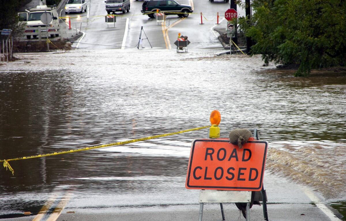

CHARLOTTESVILLE, VA (CVILLE RIGHT NOW) – The National Weather Service has issued a flood watch that includes Albemarle County and Charlottesville, beginning at 4 p.m. Monday until midnight. Heavy storms could quickly dump large amounts of rain, 2-3 inches in an hour, according to the forecast.
The watch means excessive runoff may result in flooding of rivers, creeks, streams, and other low-lying and flood-prone locations, according to the NWS advisory.
“Flooding may occur in poor drainage and urban areas,” the advisory said. “Multiple rounds of heavy rainfall are possible this afternoon and evening, some of which may occur over areas which recently experienced flooding rains.”
The issue, according to NWS, is “slow storm motions and repeat thunderstorm activity will occur within a tropical air mass”, and “hourly rainfall rates could push into the 2-to-3-inch range in the strongest storms, with even higher instantaneous rates”.
“Obviously it’s still very, very humid and there’s a lot of moisture to work with in the atmosphere,” said Accuweather meteorologist Jason Caterina. “It’s still going to be hot with us, too, which coupled with the nearby front and the humidity will bring some potential for strong to severe thunderstorms by afternoon.”
“Some of them could be putting down some more blistering rainfall so flash flooding is certainly an opportunity and localized damaging wind gusts are possible with those storms, too,” Caterina said.
The National Weather Service advised monitoring later forecasts and be prepared to take action should Flash Flood Warnings be issued.