

CHARLOTTESVILLE, VA (CVILLE RIGHT NOW) – The latest U.S. Drought Monitor has “extreme” drought conditions creeping into the region including all of Nelson, Buckingham and Fluvanna counties and into extreme southern Albemarle, but so far the area reservoirs are holding on to their water levels.
The rest of the area along with all of the Commonwealth, except around Virginia Beach and Chesapeake, continue in “severe” drought which has been the case since late March and early April.
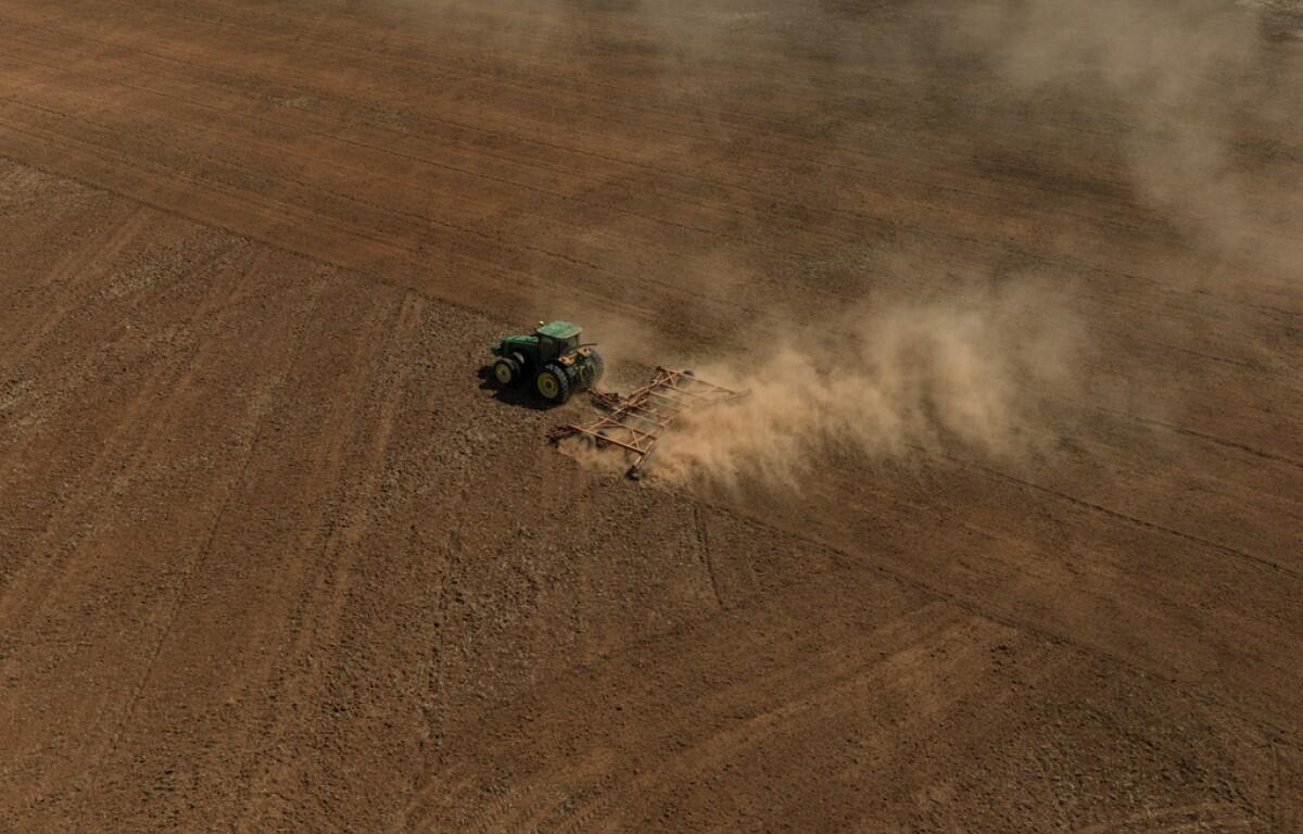
Agricultural interests are suffering as many of the summer crops that have just been planted need moisture they are not consistently getting.
Accuweather long-term meteorologist Isaac Longley told Cville Right Now there have been intermittent rains that have helped, but we’re entering days of warmer temperatures where evaporation rates increase and rain is needed more frequently.
The Virginia Drought Monitor from the Department of Environmental Quality has all of the Commonwealth under a drought warning.
That means, according to DEQ, “As a result of these dry conditions, agricultural impacts are widespread and there is increased danger of wildfires. Additionally, the expansion of the drought declarations is consistent with the designations of the U.S. Department of Agriculture, where farmers may be eligible for Farm Service Agency emergency loans.”
As for the area drinking water supply, according to Rivanna Water and Sewer Authority’s Westley Kern, “Believe it or not, we’re still holding fairly well hovering over 97% full with the South Rivanna Reservoir still spilling over the dam, Beaver Creek is still spilling out in Crozet, and Totier Creek down in Scottsville is still spilling.”
“Looking at the U.S. Drought Monitor, we are below for precipitation in the area and our stream flows are down, and that’s something we’re keeping an eye on and trying to be mindful of, but our reservoir levels still are looking fairly strong,” he told Cville Right Now.
Kern said one needs to take into account the U.S. Drought Monitor is more of a national level summary that is historical that looks into what type of precipitation is pouring in right now, but it’s not a forecast model.
“We have the U.S. Drought Model which is the national level that doesn’t really focus on localized region, then there’s the Virginia Drought Monitor by DEQ that breaks the state into 13 different regions of which Albemarle County is part of the Middle James region that spans from Amherst, all the way out to Henrico, and that includes us in Albemarle all the way down to Prince Edward, and each region is broken down into four monitoring categories of precipitation, ground water levels, stream flow, and reservoir levels”.
Kern said, “Right now, broken down in that area, we’re seeing seasonable low precipitation and stream flow rates.”
He said RWSA takes it down to focus on Albemarle County and what RWSA is seeing, and, “Localized here, the city Charlottesville and the urban area immediately around there gets its drinking water from three primary reservoirs as well as one river.”
There’s the Sugar Hollow Reservoir west of White Hall near the Blue Ridge that stores around 324 million gallons of water, the Ragged Mountain Reservoir west of 29 and Fontaine with 1.4 billion gallons of water, and the South Fork Rivanna Reservoir that you cross over by Earlysville Road or Berkmar Drive that holds 885 million gallons.
They also pull from the North Fork Rivanna.
Kern said they’re still working off the residuals of the ice that encased the area for several weeks in January, which is a byproduct of about a decade of work that has increased storage capacity including an earthen dam which was built from 2012 until 2014 at Ragged Mountain which raised storage from 500 million gallons to the current 1.4 billion.
“This isn’t to say we’re in the free and clear, and if the drought continues to go on it’s definitely a concern for us,” Kern said. “As those streams start to dry up and the ground water has the potential to drop, that will ultimately impact our reservoirs.”
Accuweather’s Isaac Longley does not see dry weather conditions ending anytime soon.
“We’re going to be in a mostly dry patten coming up with no real substantial rainfall on the way, so it is possible we could start to see water restrictions but now we’re starting to see agricultural impacts and that is going to continue into the summer,” Longley said.
As of right now, Longley said since January 1 area precipitation is roughly 10-inches below average with only 5-inches received since then.
It’s usually during the winter and spring we see precipitation with more frequency and with evaporation rates much lower to store up for the summer, and that hasn’t happened with any regularity.
“We definitely get the thunderstorms that fire up during the summer months, so hopefully we can get a few of those throughout the summer and that would be very beneficial,” Longley said. “Unfortunately, with thunderstorms, though, those tend to be a little more localized and not widespread, so it’s going to be a ways before we put a dent in this drought.”
He said we really need more a tropical system working its way up the MidAtlantic coastline, and hopefully a weaker one that doesn’t have wind or flooding impacts.