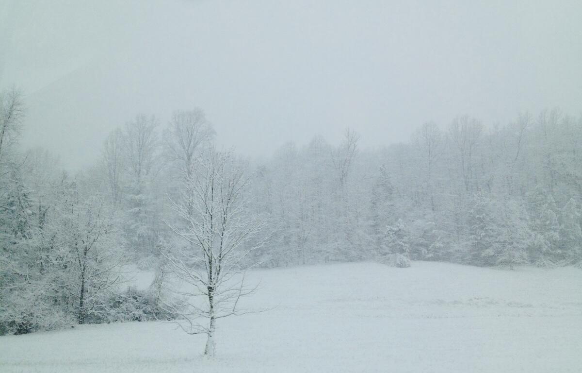
CHARLOTTESVILLE, VA (CVILLE RIGHT NOW) – The National Weather Service has issued a Winter Storm Warning for the area that slightly shortens the predicted duration beginning 7 p.m. Saturday until 1 a.m. Monday.
The watch the area had been under the last 24 hours had a duration of 4 p.m. Saturday until 4 a.m. Monday.
The advisory forecasted heavy mixed precipitation expected with total snow and sleet accumulations 8-to-14 inches with highest amounts west of the Blue Ridge, and ice accumulations of one- to two-tenths, mainly south of U.S. 33 (south of Stanardsville, Ruckersville, Barboursville, Gordonsville, and Louisa), and up to a quarter-inch possible along the Blue Ridge.
The NWS advised power outages and tree damage are likely due to the ice, “and travel could be nearly impossible”.
“Snow will likely overspread the area by Saturday night, becoming heavy at times with rates of one to two inches per hour possible at times. A mix with sleet or freezing rain is expected Sunday, especially south of Interstate 70. Significant icing is possible especially across central Virginia. Visibility of one-quarter mile or less is possible at times. A prolonged period wind chills in the teens and single digits is likely beginning this evening and lasting through the middle of next week, with sub-zero wind chills possible at times,” the advisory said.
“Right now, the storm is scheduled to track a little further north and that’s going to bring in a little bit of warm air up in the atmosphere which is where everything gets thrown off,” Accuweather meteorologist Jason Caterina said. “So, Sunday, snow, sleet, and freezing rain, an additional one-to-three inches possible, a high of 27. Now, that 27 is important. Because it stays cold at the surface, but if you get a warm layer up above at a couple of thousand feet, the snow will be falling, it hits that warm layer and melts.”
Caterina cautioned that, with temperatures that low, rain could lead to icy conditions.
“Once snowflakes fall into that warm layer and melt, it will never turn back into snow, so it will either be sleet or freezing rain depending on the depth of that cold layer at the surface,” he said.
He said that continued into Sunday evening, then changing back into snow Sunday night with little or no additional accumulation.


