
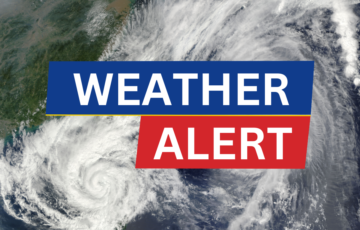

CHARLOTTESVILLE, VA (CVILLE RIGHT NOW) –The National Weather Service has issued a Severe Thunderstorm Watch and a Flood Watch for Charlottesville and surrounding areas, effective from 3 PM EDT this afternoon through this evening.
Damaging wings and flash flooding caused by excessive rainfall continues to be possible, as widespread thunderstorms are expected this afternoon into the evening. These storms could produce very heavy rainfall, with localized totals of two to four inches possible within a one to two-hour period. This may result in flash flooding of rivers, creeks, streams, and other low-lying and flood-prone locations, as well as urban and poor drainage areas.
Residents are urged to monitor weather updates and be prepared to take immediate action. For more information on flood safety and preparedness, visit the National Weather Service’s website.
Locations Included in the Flood Watch: Charlottesville, Fredericksburg, Harrisonburg, Manassas, Staunton, Waynesboro, Winchester, Albemarle, Augusta, Berkeley (WV), Clarke, Culpeper, Eastern Loudoun, Frederick (VA), Greene, Jefferson (WV), Madison, Northern Fauquier, Northern Virginia Blue Ridge, Northwest Prince William, Orange, Page, Rappahannock, Rockingham, Shenandoah, Southern Fauquier, Spotsylvania, Stafford, Warren, Western Loudoun, Central Virginia Blue Ridge, Central and Southeast Prince William/Manassas/Manassas Park.