
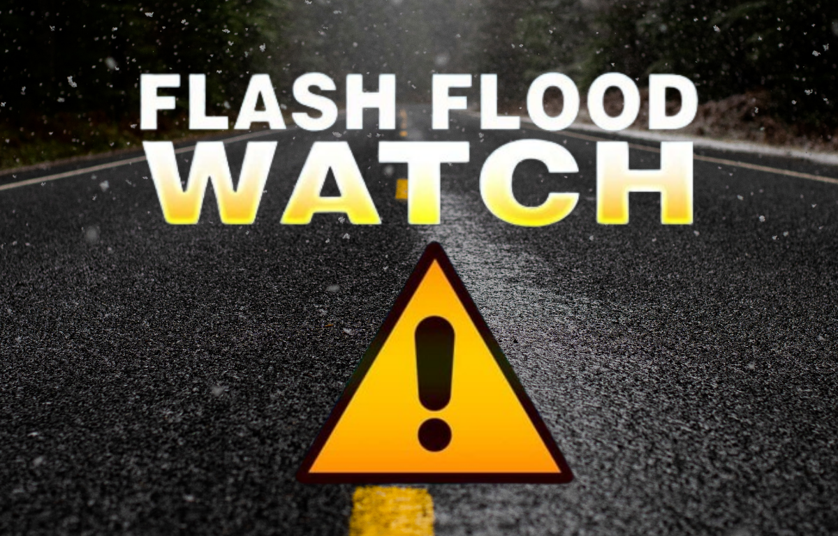

CHARLOTTESVILLE, VA (CVILLE RIGHT NOW) – The entire Charlottesville area is under a flood watch Tuesday, until midnight, according to the National Weather Service.
Initially only Louisa and Fluvanna were under it, but the rest of the area was added later Tuesday morning. The National Weather Service observes a tropical air mass remains in place with additional bouts of heavy afternoon and evening rainfall possible. Rainfall rates in the stronger more persistent storms could reach 1.50 to 2.50 inches per hour. Isolated storm total amounts may reach 3 to 5 inches in a few spots, particularly along the higher terrain. Excessive runoff may result in flooding of rivers, creeks, streams, and other low-lying and flood-prone locations. Residents should monitor later forecasts and be prepared to take action should Flash Flood Warnings be issued.
Monday was illustrative of the need to be weather aware. The storms are of the nature that they may severely affect one area, while an adjacent area is either hardly or not affected. Petersburg and Colonial Heights were under flood emergencies from late Monday night into late Tuesday morning after rainfall amounts from stalled storms ranging from 4 to 9 inches. Areas just 10 to 15 miles from those flooding spots were getting about a-quarter inch of rain at the same time. There was also major flooding from excessive rainfall amounts of 4 to 6 inches falling on Emporia and a portion of Greensville County is south central Virginia, as well as on a portion of the Northern Neck.
Forecasters urge drivers to be extremely cautious and alert for rapidly changing weather conditions. One can be in minor conditions in one spot and drive very rapidly into dangerous conditions.