

CHARLOTTESVILLE, VA (CVILLE RIGHT NOW) – Albemarle County had to take their web-based GIS viewer offline for an extended time after last month’s cyberattack, but the county has been able to use the occasion to bring it back with a new and improved GIS viewer.
“Our team had been working on upgrading that system prior to that, and so this was an opportunity to accelerate that work,” said county Communications Director Abbey Stumpf.
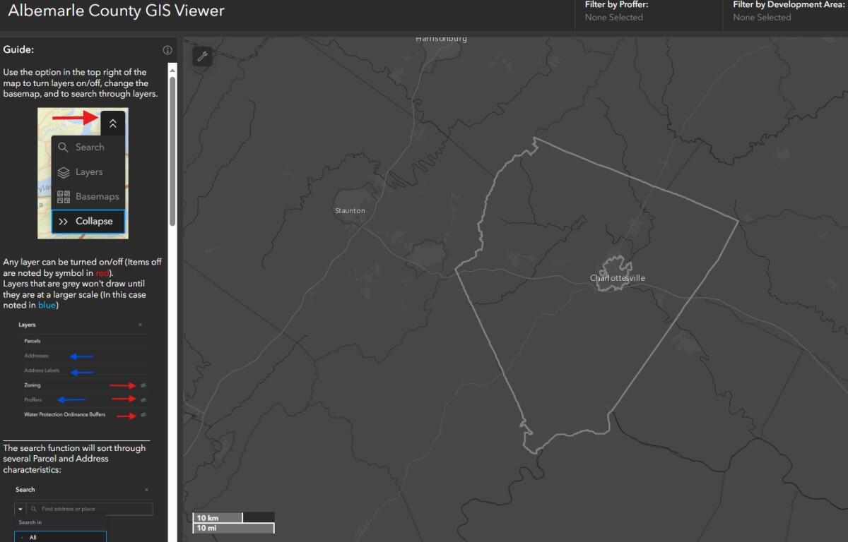
Stumpf explains the viewer is a full-blown map where you can zoom in and look at a parcel of land and find out a bunch of things about it. She said you can look up everything from latest assessed value, the current owner, the school district, what kind of floodplain, acreage, zoning, etc. She said they’re still working on restoring some of the functions of the old viewer… such as sketching, identifying abutting owners, and some other data layers… which are not yet available. They’re going to have to be included in coming updates.
Stumpf said a major difference in the new tool is it can be used on a mobile device whereas the old GIS viewer could not. Click here to access the new GIS viewer.