
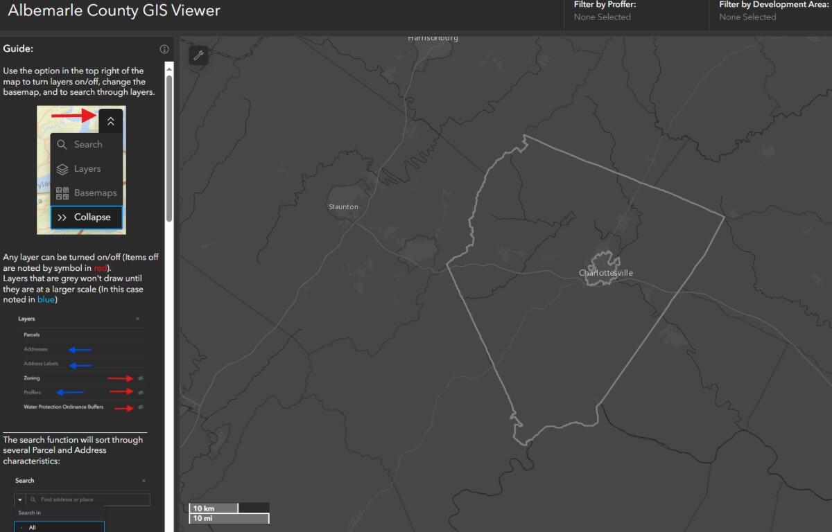

CHARLOTTESVILLE, VA (CVILLE RIGHT NOW) – As part of new GIS Viewer system Albemarle County implemented in July following the cyberattack shutdown, the county has added two new parcel filter tools to improve viewer experience. This week’s additions include filtering by parcel sale date and by listed subdivision.
The sale date can be searched by “between dates”, “before a date”, “after a date”, and within a past number of days the viewer can select. A county release said these new tools “are designated to help… access parcel information more quickly and precisely”.
The county release notes “the County Maps page is currently under maintenance” as they’re “modernizing its content and functionality”. In the meantime, the county encourages users to explore the updated GIS Viewer for mapping needs.
Click here to access GIS resources.