
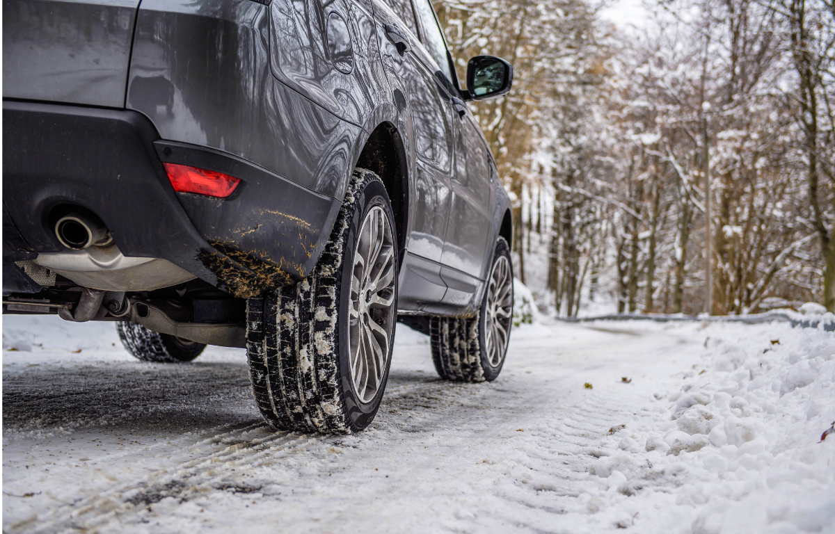

CHARLOTTESVILLE, VA (CVILLE RIGHT NOW) – UPDATE 2/12 12:30 PM: The Winter Weather Advisory has expired as of noon, but icy conditions persist across the region. Freezing rain earlier in the day left a light glaze of ice on sidewalks, roads, and bridges, leading to numerous traffic crashes throughout the morning. Travelers should continue to exercise caution as road conditions may remain hazardous. Power outages are still possible in some areas.
For updated road conditions, call 5-1-1.
Many schools and businesses have made adjustments to their closings and delays. Click here for the latest updates.
UPDATE 2/12 9:30AM: The winter storm warning is over, but the National Weather Service has issued a Winter Weather Advisory through noon for freezing rain that is making a light glaze of ice. Impacts are very slippery sidewalks, roads, and bridges possible. The hazardous conditions have resulted in numerous traffic crashes in the area throughout the morning. Slow down and use caution while traveling. Prepare for possible power outages. The latest road conditions can be obtained by calling 5-1-1.
UPDATE 2/11 7PM: A Winter Storm Warning remains in effect until 7 Wednesday morning. Total snow and sleet accumulations between 4 and 8 inches. Ice accumulations up to one-tenth of an inch. The hazardous conditions could impact Wednesday morning’s commute. Roads may become impassable due to the combination of heavy, wet snow through tonight, followed by significant icing Wednesday afternoon and evening.
If you must travel, keep an extra flashlight, food, and water in your vehicle in case of an emergency. The latest road conditions for your route can be obtained by calling 5-1-1.
Click here for the complete up-to-the-minute closings and delays.
UPDATE 2/11 11AM: The National Weather Service posted a Winter Storm Warning from 10 Tuesday morning until 7 Wednesday morning. Accuweather’s Jeff Nordeen says the heaviest snow will be afternoon into evening at the rate of about a half-inch an hour. He expects the most amount of snow from late morning until about 7pm, then it takes a pause or transition to rain briefly just after midnight. He then expects a dry time from 3am-to-7am Wednesday, then snow returns around 7 in small flurries. By noon Wednesday, he expects snow to be out of the area, though there won’t be a lot of melting as clouds remain as do temperatures in the 30s.
By the time it’s all done, Nordeen expects 4-to-8 inches of snow on the ground. The National Weather Service advises travel could be very difficult. The hazardous conditions could impact the Tuesday evening and Wednesday morning commutes. If you must travel, keep an extra flashlight, food, and water in your vehicle in case of an emergency. The latest road conditions can be obtained by calling 5 1 1.
Click here for closing and delays.
ORIGINAL:
The National Weather Service has posted a Winter Storm Warning from 8 Tuesday morning until 1 Wednesday afternoon. Heavy mixed precipitation is possible with 4-to-8-inches of snow and 1-tenth to 2-tenths of an inch of ice accumulation. Accuweather’s Jeff Nordeen says the precipitation begins as light snow between 5-and-7 Tuesday morning which could impact the morning commute. A steady snow follows Tuesday afternoon into Tuesday evening and could be heavy at times. Some freezing rain begins to mix with the snow Tuesday night in areas south and east in our area. He says additional wintry precipitation continues through Wednesday and may continue as light rain into Thursday morning.
Plan on slippery road conditions that could impact Tuesday afternoon and Wednesday morning commutes. Persons should delay all travel if possible. If travel is absolutely necessary, drive with extreme caution and be prepared for sudden visibility changes. Leave plenty of room between you and the motorist ahead of you and allow extra time to reach your destination. Avoid sudden braking or acceleration and be especially cautious on hills and when making turns. Make sure your car is winterized and in good working order.